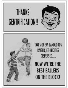
 I always wanted to write a post on gentrification and it connection to racism. Thanks to this article on PolicyMic I can do so today: Watch Gentrification Happen Before Your Very Eyes in NYC, in 5 GIFs. You can use urban planning and socio-economic policy, to force certain people out of neighborhoods and keep parts of the population separated and isolated. Gentrification can be and has been used as a tool for racism. I will leave you with this description on the consequences of gentrification on race relations and present you with the article below it.
Although it is not always connected to race and can sometimes be generalized by class, gentrification or urban renewal is another form of residential segregation. Gentrification is defined as higher income newcomers displacing lower income residents from up-and-coming urban neighborhoods. The concept is understood as reflecting the residential turnover of an area that was predominantly composed of residents of color, to one populated by higher income whites. Yet definitions of gentrification fail to mention this racial component.
________
Gentrification has totally changed the face of New York City — and the change isn’t just in who lives there. From one end of the city to another, vacant lots and low-rise buildings are being replaced with high-rise condominiums and apartment complexes for New York’s burgeoning upper class.
Artist and programmer Justin Blinder decided to capture this process before and after using Google Street View and various cached images featuring the past few years of construction and development, and the results are eye-opening. Former Mayor Michael Bloomberg’s legacy is immediately visible, and his impact on local neighborhoods undeniable.
The Vacated project seeks to prompt questions like “Vacated by whom? Why? How long had they been there? And who’s replacing them? Are all these changes instances of gentrification, or just some?”
Here’s 130 Flushing Ave., Brooklyn (Navy Yard):
11 2nd Ave., Manhattan, NY (the Lower East Side):
11 Bedford Ave., Brooklyn (Greenpoint)
190 India St., Brooklyn (also Greenpoint)
91-93 Bowery St., Manhattan (Chinatown):
Blinder’s methodology is nearly as interesting as the stunning images he was able to create. First he found gaps in the city’s Department of Planning PLUTO Dataset to identify exact addresses that had been built or altered since 2009. Blinder parsed out sites that weren’t located on major intersections, isolating the biggest projects. Then, he mapped those addresses on Google
The GIFs above were “specifically extracted from neighborhoods where housing costs have increased since 2004.” Blinder’s project was a commission for Envision 2017, “a web-based public art project prompting New York City artists to share their vision of the city’s future.”


Unfortunately, this phenomenon isn’t happening in NYC…it’s all over. Washington, DC, has witnessed entire neighborhoods and the local businesses that made the area home, disappear. Great job in bringing this to the attention of everyone here. Much love and naked hugs! 🙂
LikeLike